The microgravity survey using Scintrex CG-5 and CG-6 involves precise measurements of small variations in the Earth’s gravitational field. These variations can help detect subsurface density anomalies, which are useful in geotechnical, hydrogeological, and exploration applications. Below are key aspects of conducting a microgravity survey with these instruments.
1. Introduction to Scintrex CG-5 & CG-6
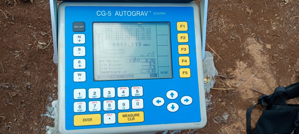
Scintrex CG-5 and CG-6 are high-precision relative gravimeters designed for microgravity surveys. The CG-6 is an updated version of the CG-5, featuring improved electronics, better thermal stability, and enhanced data acquisition capabilities.
Key Features
| Feature | Scintrex CG-5 | Scintrex CG-6 |
|---|---|---|
| Accuracy | ±1 µGal | ±0.8 µGal |
| Resolution | 0.1 µGal | 0.01 µGal |
| Drift Rate | <10 µGal/day | <5 µGal/day |
| Display | LCD Screen | Touchscreen |
| Data Storage | Internal + External | Larger internal storage |
| Battery Life | ~24 hours | ~30 hours |
2. Microgravity Survey Workflow
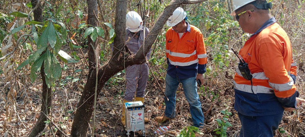
Step 1: Survey Planning
- Define the objective (e.g., cavity detection, groundwater studies, fault mapping).
- Select survey grid and station spacing (typically 5–50 meters depending on target resolution).
- Identify and record base station locations for drift correction.
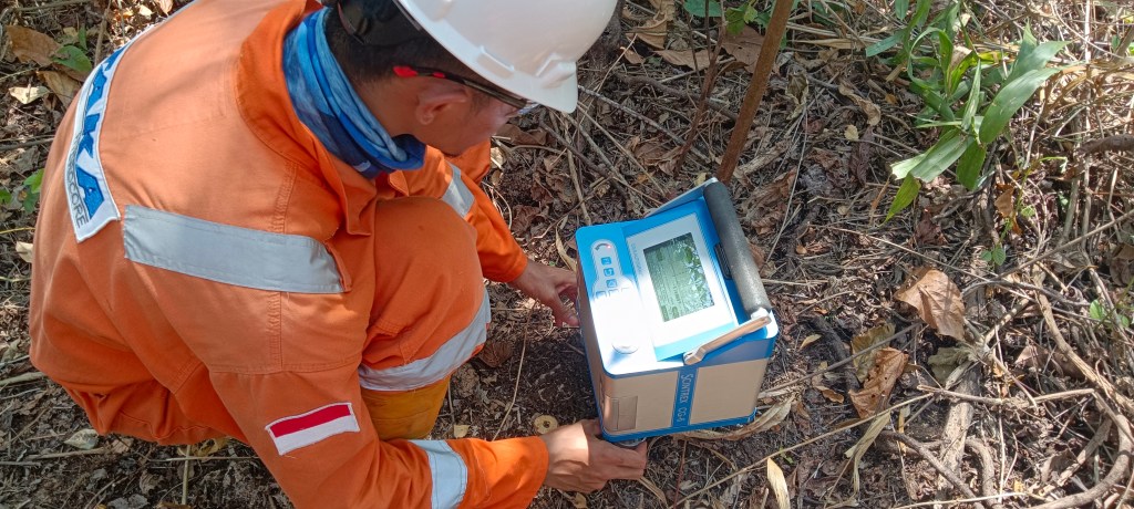
Step 2: Instrument Setup
- Place the gravimeter on a stable tripod.
- Level the instrument using the bubble level and adjustable legs.
- Allow the instrument to stabilize before taking measurements.
- Input station coordinates (manually or via GPS if supported).
Step 3: Data Acquisition
- Take multiple readings at each station to minimize noise.
- Record environmental conditions (temperature, pressure) to aid in corrections.
- Measure at a base station periodically to track instrument drift.
Step 4: Data Processing & Corrections
Apply standard gravity corrections:
- Drift Correction – Remove instrument drift by referencing base station readings.
- Tidal Correction – Account for Earth and lunar tidal effects.
- Latitude Correction – Adjust for gravity variations with latitude.
- Free-Air Correction – Correct for elevation differences.
- Bouguer Correction – Remove gravitational effect of overburden.
- Terrain Correction – Adjust for local topographic variations.
Step 5: Interpretation
- Generate Bouguer anomaly maps.
- Identify density variations indicating subsurface structures.
- Correlate results with geological, geotechnical, or hydrogeological data.
3. Advantages of CG-5 & CG-6 in Microgravity Surveys
- High sensitivity to small density variations.
- Robust design for fieldwork with minimal maintenance.
- CG-6 offers enhanced automation and data storage.

Tinggalkan komentar